

Profile
Blog
Photos
Videos

- Blog
- Europe
- UK
-
Location Date John O' Groats 1338678000 Thurso 1338591600 Highland 1338332400 Tarbet 1338159600 Kilmarnock 1338073200 Dumfries 1337986800 Clitheroe 1337814000 Ludlow 1337641200 Chepstow 1337554800 Hayle 1337209200 Amersham Penzance Padstow Okehampton, Devon, England, United Kingdom Bridgewater Middlewich Tebay Argyll And Bute Alness 
Tongue


Drew says:
It rained heavily overnight and the temperature had dropped a lot since yesterday.
Breakfast was a DIY affair with toast, tea and cereal provided by the hostel management.
It was still raining steadily as we set off from Fort Augustus on the Southern Loch Ness road. We were immediately into a steep five and a quarter mile climb of around 1200ft.
Part of the way up we overtook a bedraggled lone cyclist who was walking up pushing his bike and swearing to himself until he became aware of David approaching from behind. He was obviously another tourist like ourselves and I felt rather sorry for him because, if he had to walk all the way to the top, it would take him an awfully long time.
For the descent on the other side of the hill we put on all of our wet weather gear and most of our warm clothing but we were still very cold by the time we reached the bottom. We warmed up with coffee and Danish pastries in the Falls of Foyers Cafe.
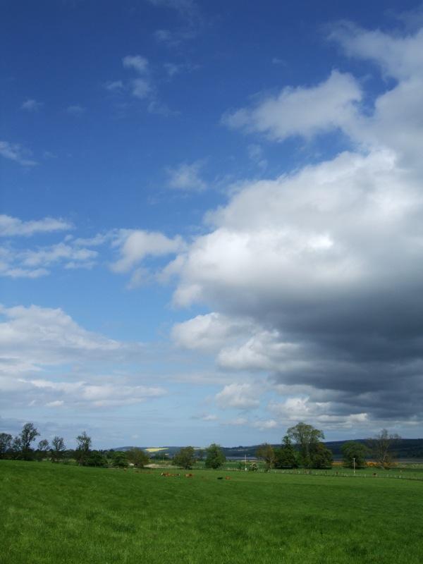
Further up Loch Ness the rain stopped and we had a good run into Inverness. On the way, just past Dores, we passed the site of the Rock Ness Festival which will take place in about nine days time. The site was huge and already had temporary fencing, roadways, lighting and mobile phone masts in place. Lorry loads of material were arriving.
As we really know how to live, we bought sandwiches, orange juice and fruit in Marks and Spencer and had a picnic on a bench in the pedestrian area outside.
We then followed the National Cycle Network Route 1 out of town, across the Kessock Bridge and on, via Dingwall, to a B&B in Alness.
We generally think that the Sustrans NCN routes are great but much of the route to Alness was just ridiculous involving huge hills to avoid sections of perfectly level main roads. Admittedly the scenery was good and the high-level views were excellent but progress was painful and slow. Sustrans routes are not designed for those in a hurry.
Tomorrow we are off to an undecided destination on the North coast. We will decide during the ride depending on how we feel, the weather, wind etc. Possibilities are Laxford Bridge, Tongue, or Bettyhill.
David says:
After the initial shock of waking to a torrential downpour I, bizarrely, began to look forward to the huge climb out of the village. It was cold enough for us not to overheat in the waterproofs. The rain running down the back of my neck would be a new experience after the extreme heat last week. We very nearly didn't bring our waterproof overtrousers but were glad of them on the long descent to Falls of Foyers.
One other piece of essential kit is a waterproof helmet cover - other than the rain down the back of the neck it really works.
I agree with Drew's comments on NCN routes. There is a horrendous climb out of Dingwall ( going North) but it does then provide a sustained high level route away from traffic.
We have decided that the ascent figures provided by the GPS are wildly under reporting. I'll continue adding them and, maybe, correct when I get home.
Stats:
Distance 97.1km, max speed 46.4km/h, moving avg 17.3km/h, moving time 5hrs 36min, ascent 631m (see above I suspect this is under reporting)
- comments