

Profile
Blog
Photos
Videos

- Blog
- North America
-
Location Date Oregon 1335481200 California Washington Idaho Montana Wyoming Illinois 
South Dakota Iowa Nebraska Missouri Kentucky Tennessee South Carolina North Carolina - Bonnie
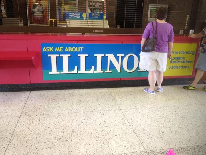
Was still focused on St Louis and didn't realize once we crossed the Missouri River we would be in Illinois. We thought something was different but was not confirmed until we stopped at the first rest stop!
I am my fathers daughter - can read a map, very seldom in my life have I been lost (the loop outside of Washington DC in 1996) and not afraid of driving great distances on my own! BUT in this day of technology - I have set out on this trip with my iPhone & iPad to guide me with the Road Atlas 2005 edition stuck in the back seat under piles of possible needed items; blanket, ice chest, ugg boots, snacks etc. Would not of missed that welcome sign if I had been able to do my pretrip planning with Lawrence! May be a day late but Atlas is now untucked and available to reference - lesson learned!
Have to give this state that it warns you of upcoming road construction. There was a 9 mile, 4 mile and 1 mile warning signs on three separate occasions. Mind you, it was Friday afternoon and no one was working!
As passing by Mt. Vernon decided to kill time by looking up facts! It was founded in 1817 by Zadok Casey, who was elected to the State Senate in 1822 and was elected Lieutenant Governor in 1833. He served in the U.S. Congress between 1833 and 1843. The town was named for George Washington's plantation, Mount Vernon, which was named for Edward Vernon, a British naval hero.
When the town was founded, there was no road to it. Travellers had to get there by either following the high ground from the north or crossing the swamps from the south. In the early 19th century the Goshen Road crossed Illinois in a northwesterly direction from Old Shawneetown, Illinois to the Goshen Settlement, near what is now Edwardsville. This road was the main road in Illinois.
While looking at map see we passed a village named Bonnie! Ahhh
- comments